In March, 2020, the supertanker New Vigorous was re-routed from the Arabian peninsular to Europe via the Cape of Good Hope. The new route added several weeks and several thousand kilometres to the journey of the supertanker, but with the Suez Canal blocked by the stricken Ever Given container ship, and the slower demand for commodities due to the global coronavirus pandemic, the journey around the southern point of Africa was economically viable for the first time in decades.
~
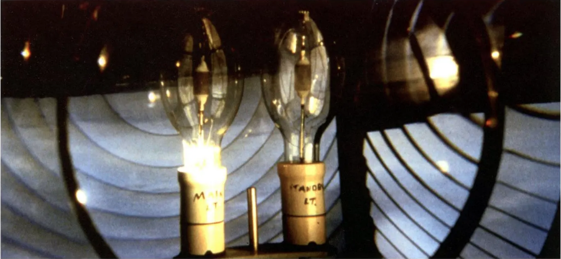
First navigated in the fifteenth century by Portuguese explorers, this southern route was the primary means of travelling by sea between Europe and Asia until the construction of the Suez Canal. In the late nineteenth century, as vast colonial empires were built on monopolised trade routes, the Suez Canal was constructed between the Arabian and the Mediterranean seas. This halved the time of sea voyage, increased profits and expanded the power of European colonial empires. The ocean around the Cape of Good Hope (a headland of the Cape Peninsula on the Atlantic coastline in South Africa), remains a busy shipping channel, facilitating trade from South and East Asia across the Indian and Atlantic oceans. However, the seas around the Cape, known historically as the “Cape of Storms”, are notoriously dangerous and are seldom used by such large vessels. Guiding vessels around these treacherous waters is a network of forty five lighthouses that illuminate nodes of the 2,800 kilometer coastline of South Africa, stretching from Jesser Point on the Indian Ocean coastline, to Port Nolloth on the Atlantic Ocean coastline close to the border with Namibia. Each lighthouse has its own unique code, a light signal rhythm that communicates to passing ships where they are at sea.


